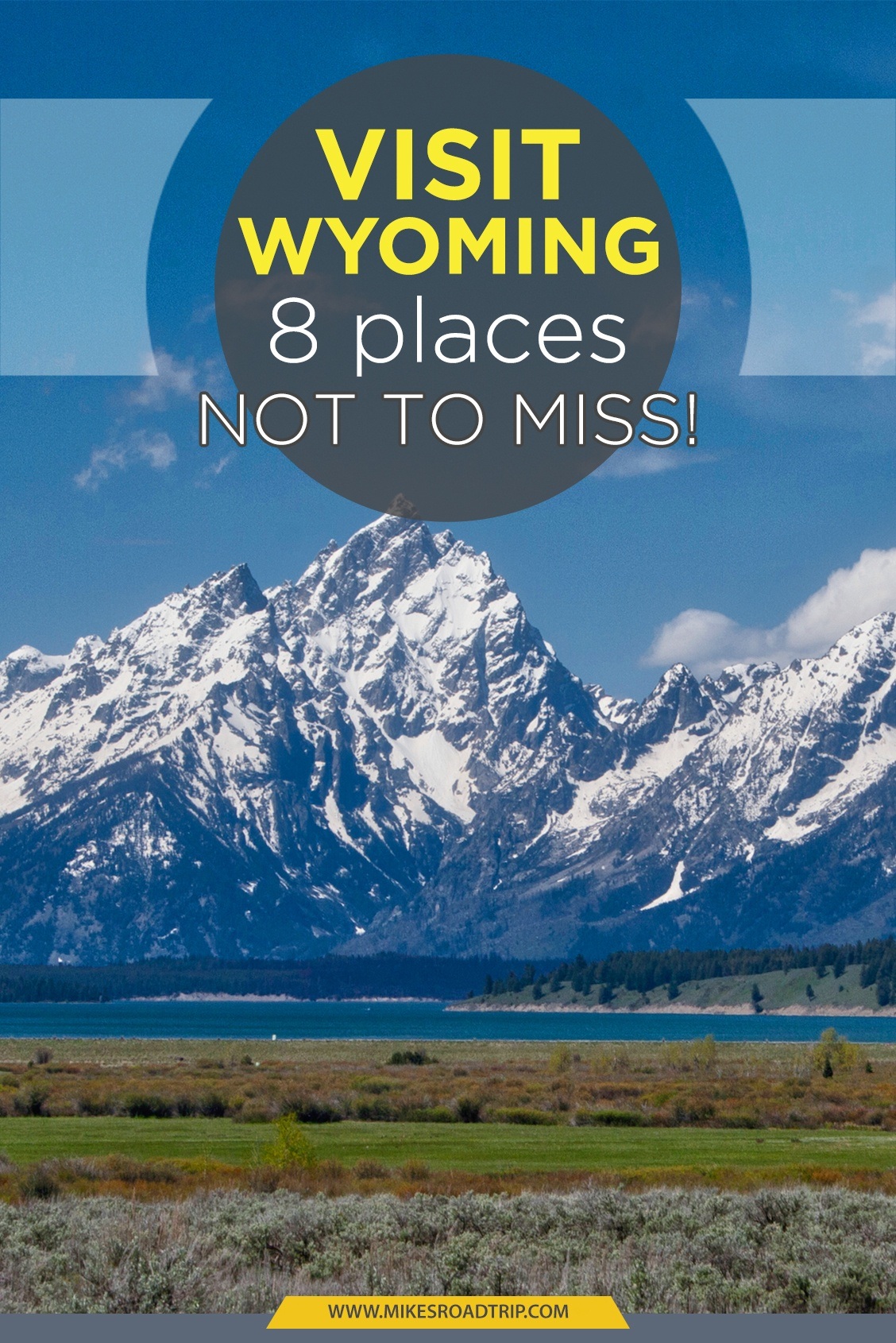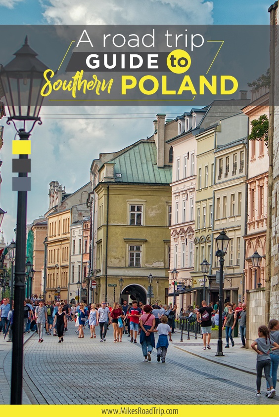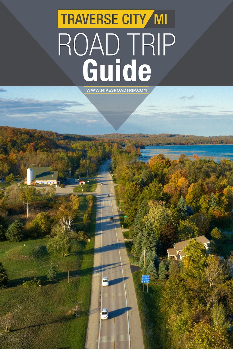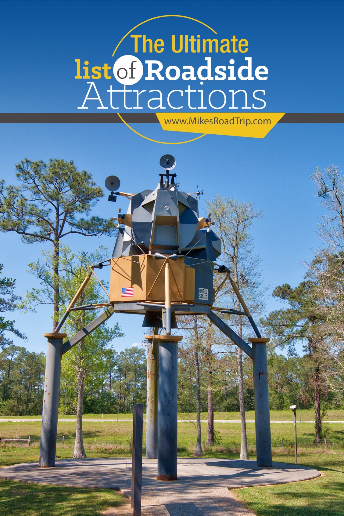
Category: Featured Destinations
Mike’s Road Trip features a wide variety of amazing destinations that will inspire you to get out and see the world. These destinations include some of the most beautiful and iconic places in the United States and beyond, from Seattle to Sedona, Tuscany to Tanzania and Sri Lanka to Melbourne. The website also highlights less well-known but equally stunning destinations, such as the Badlands of South Dakota, the Blue Ridge Parkway in Virginia, the rolling hills of Maramureș Romania and the Great River Road along the Mississippi River. Each destination featured includes detailed information about what makes it special, including its history, natural beauty, and recreational opportunities. Visitors can also find out what other nearby attractions are worth visiting and get directions and details to help them plan their trip. The amazing destinations featured on Mike’s Road Trip are sure to provide visitors with an unforgettable road trip travel experience.
Top 10 Winter Activities in Flagstaff

The quintessential American road trip has to be the scenic byways of ol’ Route 66. I have road tripped throughout the state of Arizona, but one place I've not explored in a long time is Flagstaff. I thought it would be fun to head to the highest city along Historic...
Read moreVilla Tugendhat – A design lesson for today

Villa Tugendhat is a museum located in Brno, the Czech Republic’s second largest city. Built in 1929, Villa Tugenhat was designed by Ludwig Mies van der Rohe, a contemporary of the more well known American architect, Frank Lloyd Wright. The museum is a wonderful look at early 20th century modern...
Read moreImpression West Lake show in Hangzhou
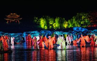
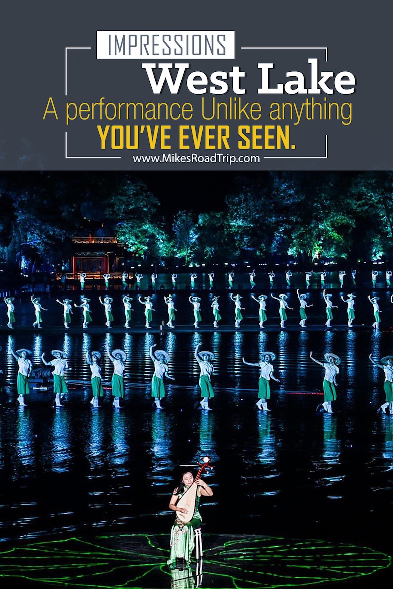
While I was in Hangzhou, China I had an opportunity to see and do a lot of extraordinary things, but without question, one of the highlights was seeing Impression West Lake. This aquatic tableau was one of the most sensational live performances I’ve ever seen, and that’s saying a lot...
Read moreThe Essence of Tea in Hangzhou

If you look just beyond the majestic West Lake in Hangzhou, China, you'll see a mountainous silhouette casting a shadow on the horizon....this is where the famed Longjing Tea (aka Dragon Well) is grown. Longjing Tea is the best-of-the-best when it comes to green tea, this is due in part...
Read moreThe Bone Church (Ossuary) in Kutná Hora

Kutná Hora might be most well known for its creepy and eerie "Bone Church," which is filled with bones and skulls from some 40,000 people, dating back to the 17th Century. One of the reasons for the influx of bodies is that during the 13th century, the abbot of Sedlec...
Read moreMIM Music Theater is symphonic nirvana

The Arizona Phoenix metro area has an outstanding selection of musical venues in which to enjoy concerts and other live performances. From massive stadiums, arenas, outdoor amphitheater, sophisticated performing art theaters, to intimate venues… Phoenix boasts them all. Opened just a few years ago, one of the newest venues in...
Read moreChanging of the Guards in Athens

Whether you’ve been to Athens or not, you’re no doubt familiar with the amazing monolithic structures left behind by the Romans some 2000 years ago. What you may not be familiar with is the incredibly unique and entertaining Changing of the Guards in Athens at Syntagma Square. Each hour, on...
Read moreLobkowicz Palace: Where history and nobility come alive
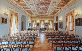
While in the Czech Republic we took a tour the Lobkowicz Palace at Prague Castle, which is the oldest, largest and most intact private art collection in the Czech Republic. The collection represents twenty two beautifully appointed galleries that contain all the aspects of culture and nobility of Central Europe...
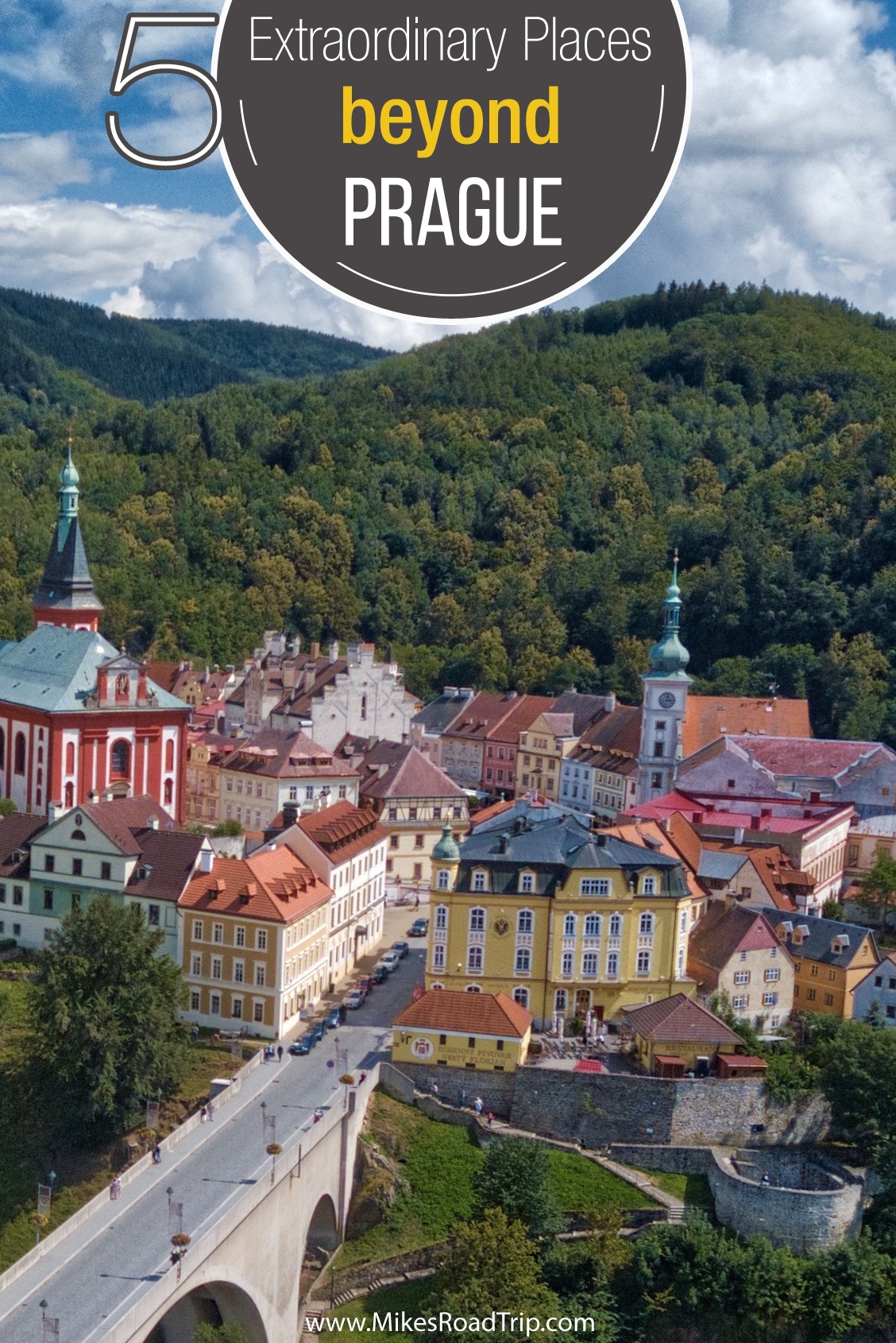
Read moreČeský Krumlov Castle
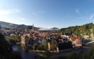
Český Krumlov in the Czech Republic is an outstanding example of a small, central European, medieval town whose architectural heritage has remained intact thanks to its peaceful evolution over more than five centuries. It’s a place that is easy to fall in love with, as I certainly did. The town...
Read morePrague Estate Theatre
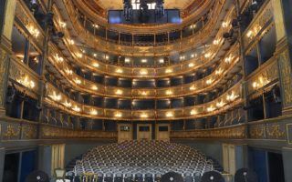
The Prague Estate Theatre is one of the most beautiful and historic theaters in all of Europe. Built by German aristocrat František Antonín Count Nostitz Rieneck, this theater brought charm and culture to the city of Prague. It took nearly two years to construct the opulent venue, which officially opened...
Read moreZizkov Tower: World’s second ugliest structure
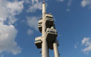
In the Bohemian capital city of Prague, amid a sea of historic charm, an unsightly landmark stains the horizon like a blob of ink. The Zizkov Television Tower, affectionately known as the “second ugliest building in the world” (first is the Morris A. Mechanic Theater in Baltimore, Maryland), was built...
Read moreWhat to do with only a Day in Dubrovnik
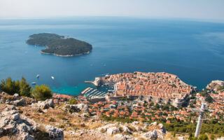
Spending just a day in Dubrovnik, Croatia is not nearly enough time to explore this wondrous port city. However, a day is all I had. If you have more than a day to discover Dubrovnik and the coast, you could perhaps charter a yacht in Croatia to see Dalmatia from...
Read moreMcCormick Stillman Railroad Park

Located in the heart of Scottsdale, AZ, the McCormick Stillman Railroad Park is a unique and fun venue for the entire family. You can take a train ride around the 40-acre park, hop on the antique carousel, or visit the newly completed 10,000 square foot model train exhibit. There are...
Read moreYou may want to visit Turkey after watching this video

Turkey has long been a destination that I have wanted to visit. Watching this spectacular video by videographer and photographer Leonardo Dalessandri, has certainly rekindled my interest. After traveling more than 2000 miles and visiting nine cities, the result (after six months of post production) is this stunning video entitled,...
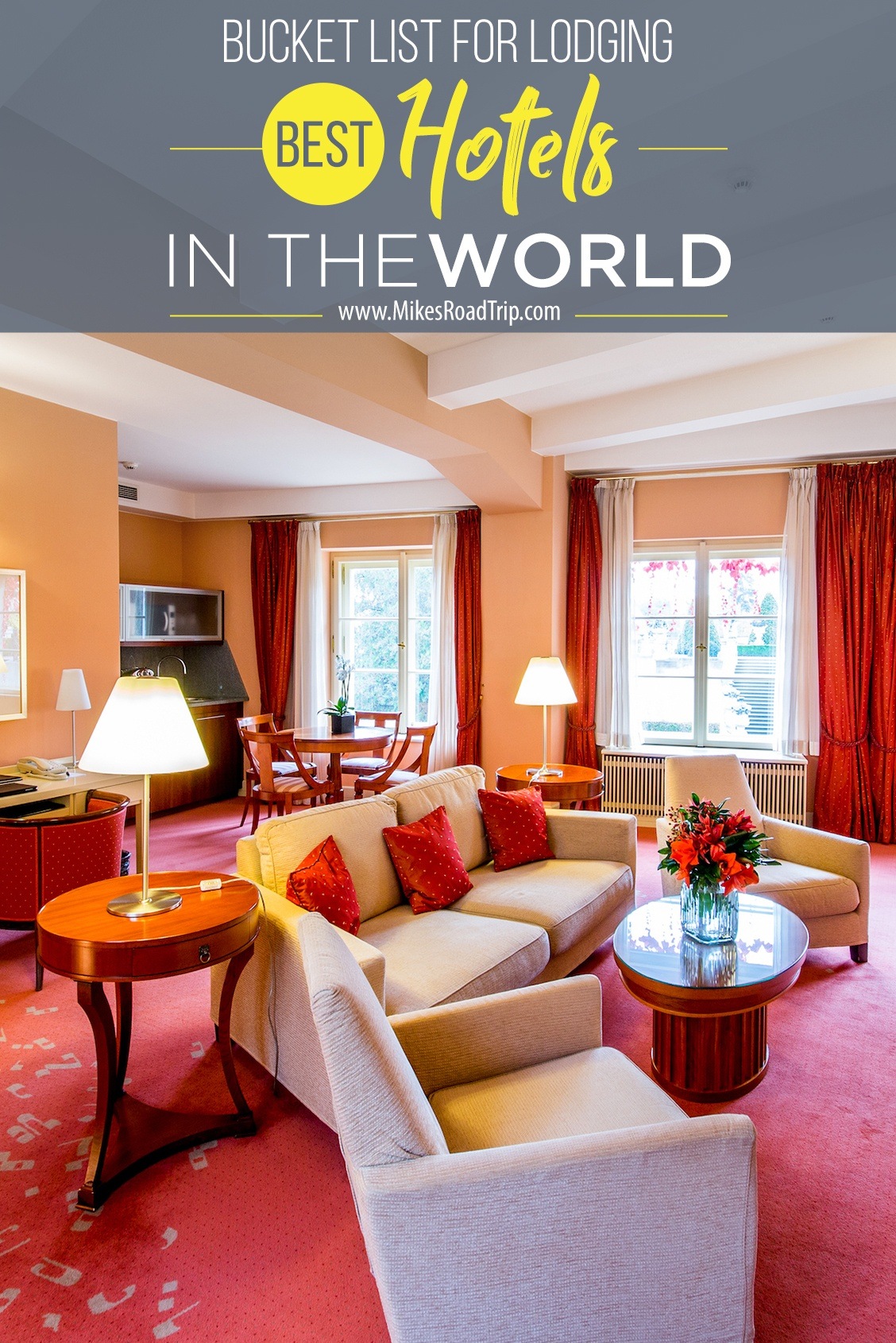
Read moreThe most luxurious places to visit in the US

The United States has everything you could ever want from one continent – fantastic international cuisine, buzzing cities, tranquil countryside, gorgeous beaches and the best adult playground in the world. Whether you’re looking for luxury casino hotels to spend your time (and money) at in Las Vegas, or you want...
Read more


![Top-5 Best Places to visit in Belgium beyond Brussels [video included]](https://mikesroadtrip.com/wp-content/uploads/2020/07/Pin-6b.jpg)
![Top-10 Most Interesting Facts about Arizona [Video Included]](https://mikesroadtrip.com/wp-content/uploads/2020/07/Pin-2.jpg)